What is 3dmaps.app?
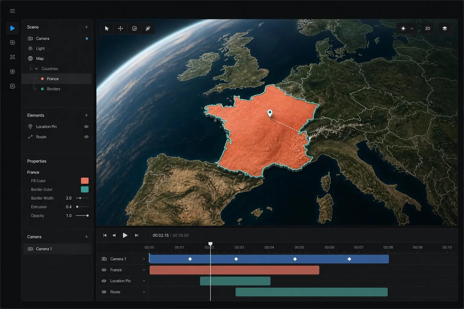
3dmaps.app is a browser-based 3D map video maker. You pick a country or region, animate a Mapbox globe flyover, add badges, drawings, text, and 3D models on a route, then export a ready-to-post video for social or news.
Coming soonYou can register and sign in. Some features are still finishing up.
3DMaps.app
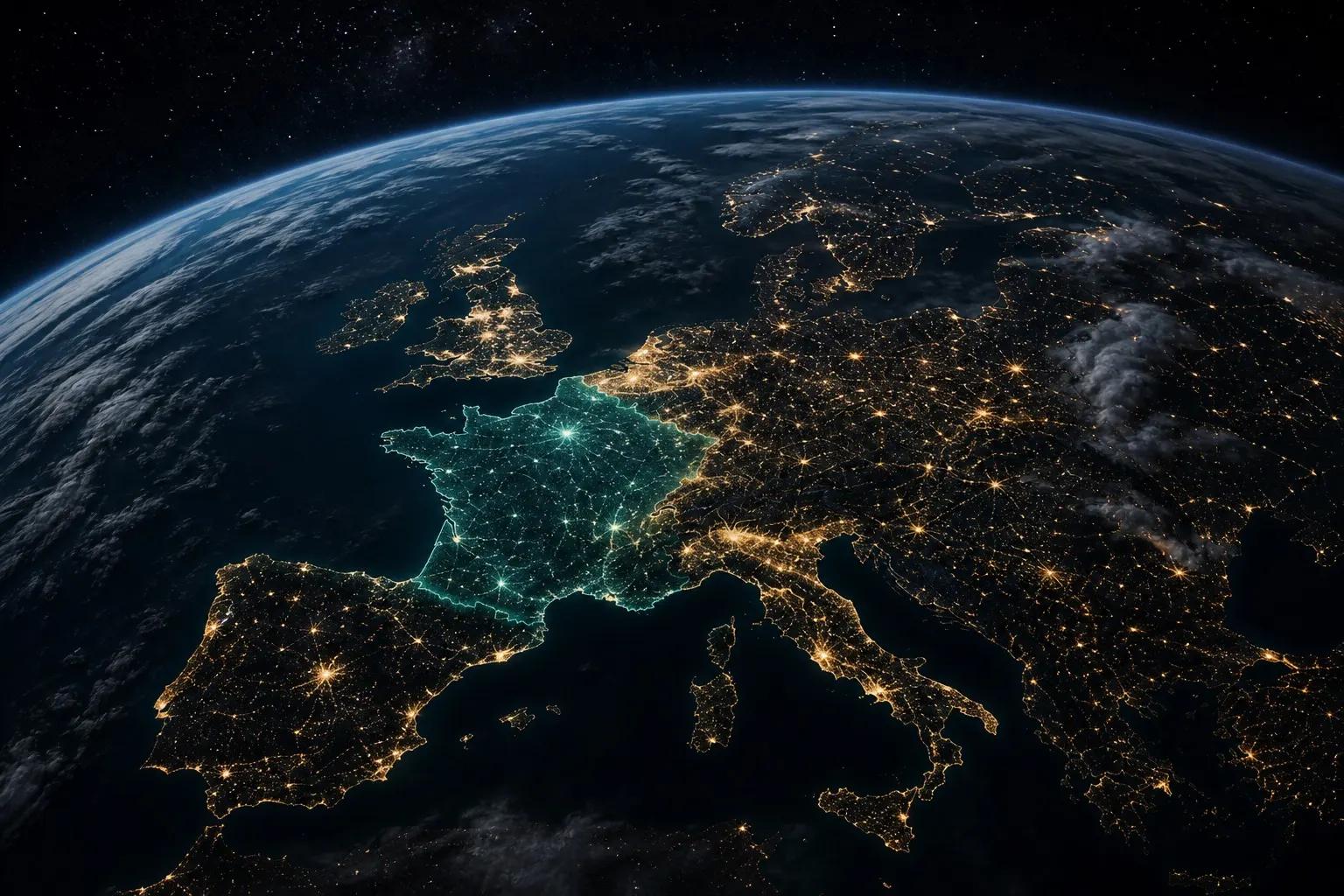
Highlight any country on a living Mapbox globe, fly the camera, add story layers, and export for YouTube or TikTok without a motion team.
Search a country, hold the camera on arrival, fill borders with flags, drop badges, draw routes, and keep the whole sequence previewable before you render.
Clear facts about what 3dmaps is, who it helps, and how map videos get made — written for both people and answer engines.
3dmaps.app is a browser-based 3D map video maker. You pick a country or region, animate a Mapbox globe flyover, add badges, drawings, text, and 3D models on a route, then export a ready-to-post video for social or news.
Creators, journalists, educators, and marketers who need viral-ready map storytelling without learning After Effects, Cinema 4D, or a full motion-design pipeline.
Templates still need timeline work, plugins, and rendering know-how. 3dmaps keeps the camera, country fill, annotations, and export inside one focused editor so you publish faster.
Export social-ready aspect ratios including widescreen 16:9 for YouTube and vertical formats for TikTok, Instagram Reels, and Shorts — with optional watermark branding.
Frame for 16:9 explainers or vertical Shorts and Reels. Same flyover energy — cropped for the platform you post to.
Browse use cases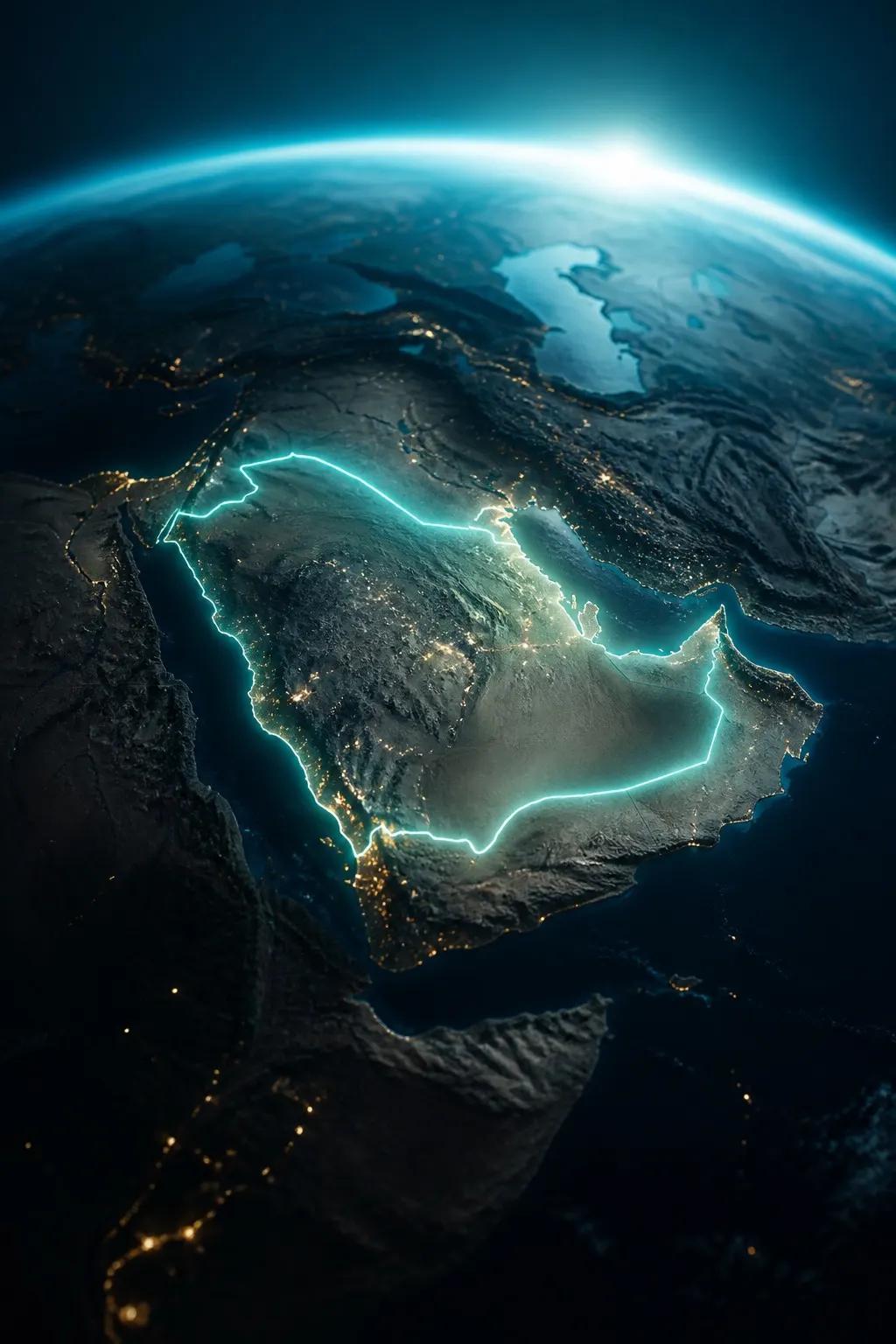
Practical details on skills, map data, saving projects, and branding.
No. Search a place, play the flyover, decorate with badges or text, then hit export. The 3DMaps.app supercomputer handles rendering for you.
Yes. The globe and terrain come from Mapbox satellite styles. Country and region outlines are driven by GeoJSON boundaries so highlights stay geographically accurate.
Yes. Sign in to save map projects to your dashboard, reopen them in the editor, and re-export when the story changes.
Exports can include a subtle 3dmaps.app watermark. Free always keeps it on. Day Pass, Creator, and Lifetime can turn it off in More → Settings.
Open the editor, pick a place, and export a flyover that feels like a studio piece — without the studio.